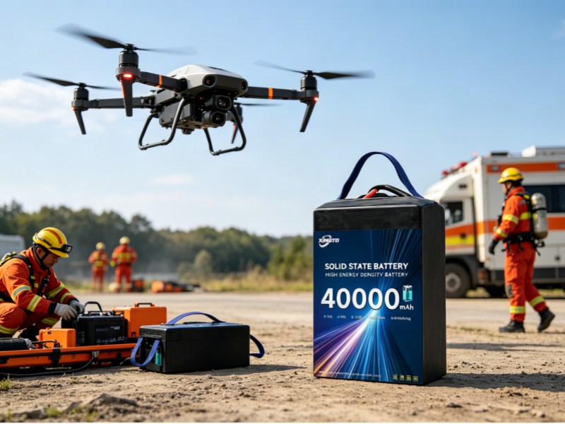
Our Mapping & Survey Drone Battery is designed for aerial mapping and GIS survey UAV systems requiring extended operational endurance, lightweight energy architecture, and stable flight performance. The battery supports photogrammetry, terrain mapping, infrastructure surveying, and industrial aerial data collection.
The optimized battery structure improves UAV efficiency while maintaining reliable industrial-grade performance.
This UAV battery solution is developed for professional mapping drone systems, aerial survey UAVs, and industrial GIS applications requiring stable long-endurance energy systems.
Supports extended aerial survey and mapping missions.
Improves UAV flight efficiency and payload flexibility.
Provides reliable energy for cameras and mapping sensors.
Suitable for demanding outdoor mapping operations.
Supports multiple industrial UAV systems.
Supports professional aerial survey operations.
Provides stable power for precision mapping tasks.
Suitable for road, railway, and construction inspection.
Optimized for industrial aerial monitoring systems.
Our mapping UAV battery solution improves aerial survey performance through:
Mapping drones require:
Our drone batteries are optimized for aerial surveying missions:
| Model | Feature | Use Case |
|---|---|---|
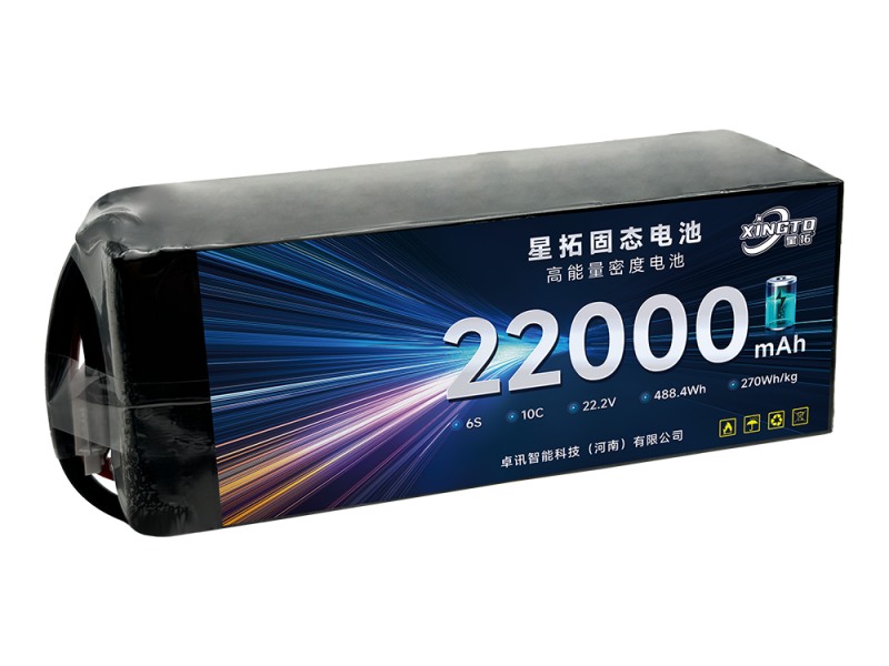
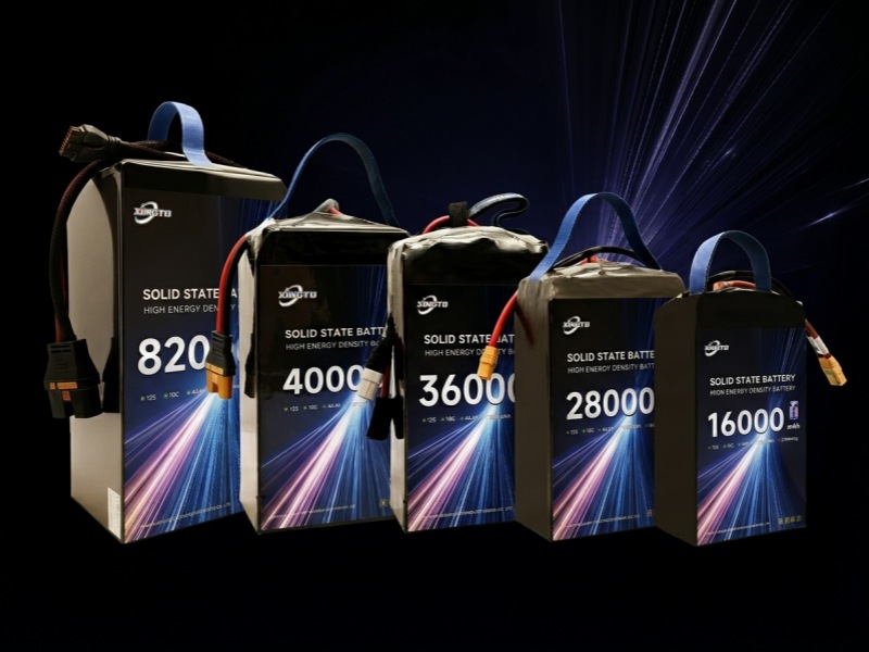
| 6S 22000mAh | Lightweight | Small mapping UAV |
| 12S 30000mAh | Long endurance | Large survey drone |
| 14S 28000mAh | High power | Professional mapping |
Q1: What battery is best for mapping drones?
High energy density batteries with stable output are recommended.
Q2: How to increase mapping flight time?
Use higher capacity and higher energy density batteries.
Q3: Is 12S better than 6S for mapping?
Yes, for larger drones and longer missions.